| A “Map Skill and Mini-Orienteering” session incudes the following elements:
● Looking at what information we can get from Ordnance Survey maps – what the colours and symbols mean, the map’s grid, contours and the concept of scale;
● Making a huge map from climbing rope on the playground with children acting as locations to look at compass directions [KS1] or getting some compasses out and learning how to set a simple bearing and finding out how to locate north without a compass [KS2];
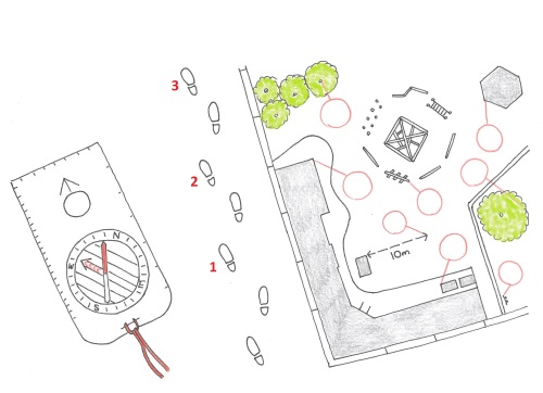
● Seeing how we can measure distance by counting paces and use this as a giant ruler;
● Taking part in a mini-orienteering challenge – using a specially drawn map of the school, the children use their new skills to find as many hidden flags as they can!
Sessions duration can be adjusted to fit more sessions into a day and all equipment is supplied. Content is tailored to be age-appropriate for any year group and supports the National Curriculum.
Group size limit – thirty children.
N.B. Orienteering fulfils the National Curriculum PE requirement for an outdoor and adventurous activity. |

